 |
|
|

 |
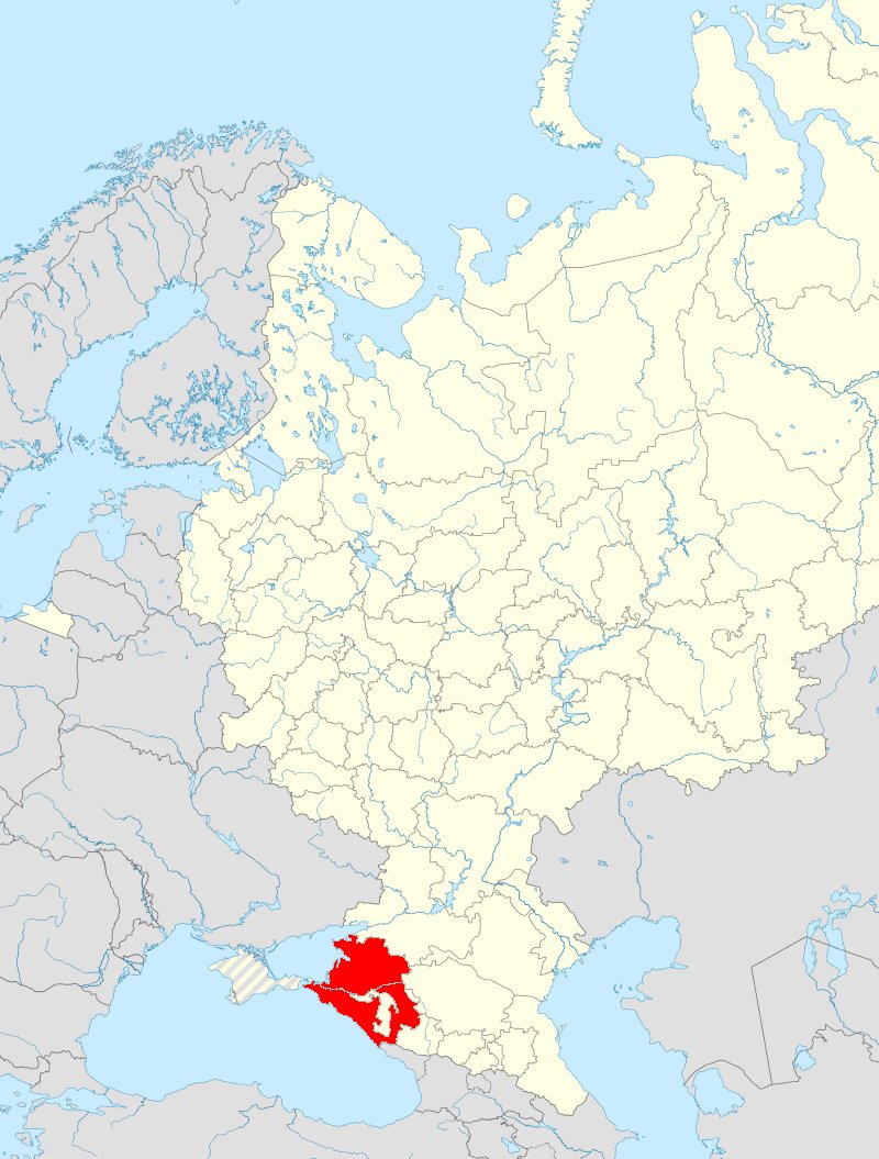
on the map of Russia
(Source: Wikipedia)
on the regional map of Russia
(Source: Wikipedia)
|
General overview of military and civil locations in the Oblast KRASNODAR used by Russian Armed Forces. |
|
The aim
of this general overview is to analyze and document the infrastructural
features of these facilities using open sources such as Google Earth
and make them available as open source intelligence (OSInt).
|
|
The project
>Oblast< is currently being developed. Before the complete filling
of the database is possible, the structure of the database and the output
formats are first developed and tested. The data will then be filled in
step by step. The project >Oblast< is therefore a prototype
that is still subject to change.
|
| Subject | Wikipedia | OpenStreetMap | OpenRailwayMap | OpenTopoMap | ||
| Oblast | Krasnodar |  |
 |
 |
||
| Administrative Center | Krasnodar |
|
|
|
||
|
© 2023 osint-rumiloc.com. |